
347
Views
1
Comment
0
Favs
Photo info
- Album
- Trailforks
- Category
- Trail Photos
- Date Posted
- Jan 14, 2016 at 13:10Jan 14, 2016
- Location
-
El Dorado Hills, California, United States

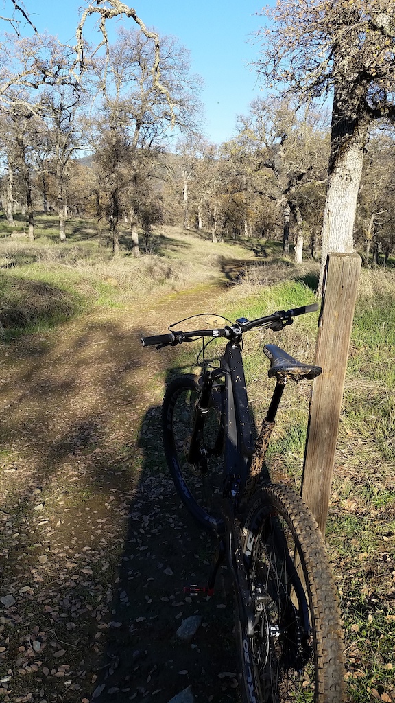
- Trail
- Darrington Trail
Trail Info
- Trail Name
- Darrington
- Riding Area
- Folsom Lake State Recreation Area
- Photos
- more photos (44)
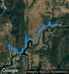
Photo details
- Photo Size:
- Camera
- Samsung SAMSUNG-SM-G900A
- Shutter Speed
- 1/474
- Aperture
- 2.2
- Focal Length
- 4.8 mm
- ISO Speed
- 40
- Date
- 2015:12:29
- Time
- 14:54:45