Watch
Learn
Velo
BikeReg
Gaia GPS
Trailforks
Outside+
Pinkbike.com
Log in
Register
New User
News
Originals
Podcast
Reviews
Events
First Looks
Friday Fails
PB Racing
Tech
Fantasy
BuySell
Community
Forums
Community Blogs
Photos
Videos
Fantasy League DH
Travel
Places
Trailforks
Places Directory
Shop
More
Travel
Forums
Blogs
Photos
Videos
Directory
Trailforks
Add to Favorites
Make feature
You must login to Pinkbike.
Don't have an account?
Sign up
Join Pinkbike
Login
Tweet
Share
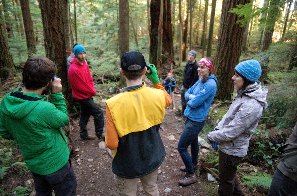
Martin and Penny demonstrate the use of a clinometer, used to measure the steepness of a proposed section of trail, to a group of trailbuilding students.
Currently browsing:
Evidence-of-Trail-Fairies
Photo 18 of 20
Prev
Next
euan-forrester
O+
Follow
Following
356
Views
0
Comments
0
Favs
Photo info
Album
Evidence-of-Trail-Fairies
Category
Digging/Building
Date Posted
Jun 13, 2016 at 0:30
Jun 13, 2016
Location
Vancouver, British Columbia, Canada
Trail
Penny Lane
Riders
@englishman @mtbmudhoney
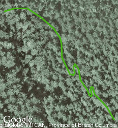
Trail Info
Trail Name
Penny Lane
Riding Area
Mount Seymour
Photos
more photos (17)
Photo details
Photo Size:
Fill Window
Fill Window
Thumb
150 x 99
Small
250 x 166
Medium
500 x 331
Normal
800 x 530
Large
1024 x 678
X-Large
1600 x 1060
Original
4928 x 3264
Camera
PENTAX K-5 II
Lens
smc PENTAX-DA* 16-50mm F2.8 ED AL [IF] SDM
Shutter Speed
1/80
Aperture
2.8
Focal Length
16.0 mm
ISO Speed
6400
Date
2015:02:21
Time
10:08:09
Copyright ©
Euan Forrester
0 Comments
Score
Time
Post a Comment
Login
or
Sign Up
About Us
Contacts
FAQ
Terms of Use
Privacy Policy
Sign Up!
Sitemap
Advertise
Advertising
Cool Features
Submit a Story
Product
Photos
Videos
Privacy Request
Manage Cookie Preferences
RSS
Pinkbike RSS
Pinkbike Twitter
Pinkbike Facebook
Pinkbike Youtube
Pinkbike Instagram
Newsletter Signup
Copyright © 2000 - 2024. Pinkbike.com. All rights reserved.
dv56 0.013171
Mobile Version of Website